|
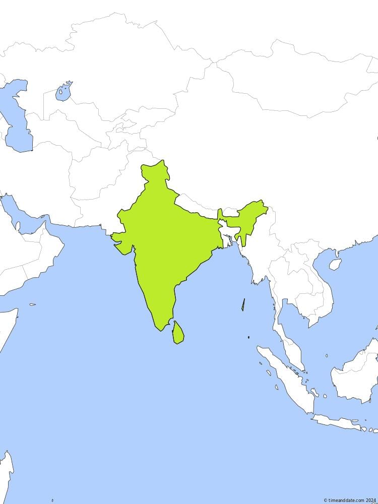
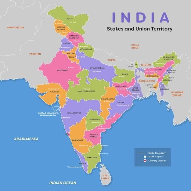
Fill in the blanks: India is surrounded by water on three sides: the Arabian Sea (___), the Bay of Bengal (___), and the Indian Ocean (___). |
Card: 3 / 50 |
|
Fill in the blank: India's total area is approximately ___ million square kilometers. |
Card: 11 / 50 |
|
Multiple Choice: Which of the following oceans borders India to the south? A) Atlantic Ocean B) Indian Ocean C) Arctic Ocean D) Pacific Ocean |
Card: 15 / 50 |
|
What are the latitude and longitude coordinates that define the extent of India from north to south and east to west? |
Card: 21 / 50 |
|
India extends from 8°4'N to 37°6'N in latitude and from 68°7'E to 97°25'E in longitude. |
Card: 22 / 50 |
|
Fill in the blank: The Tropic of Cancer passes almost through the middle of India at ___ degrees north. |
Card: 23 / 50 |
|
True or False: Indian Standard Time (IST) is based on the longitude of 82°30'E. |
Card: 25 / 50 |
|
Riddle: I span a vast distance, yet my time can vary by two hours from one end to the other. What am I? |
Card: 27 / 50 |
|
Multiple Choice: Which of the following is true about India's geographical location? |
Card: 31 / 50 |
|
Fill in the blank: Large countries like the USA and Canada have multiple time zones due to their wide east-to-west spans, while India has ___ time zone(s). |
Card: 33 / 50 |
|
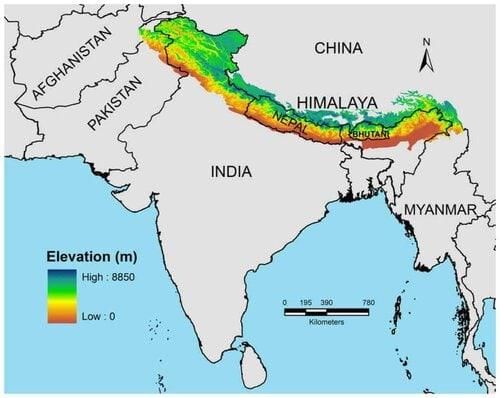
Pakistan, Nepal, Bhutan, Bangladesh, Myanmar, and Afghanistan (partly through Jammu and Kashmir). |
Card: 38 / 50 |
|
False. Nepal and Bhutan are landlocked countries without direct access to the ocean. 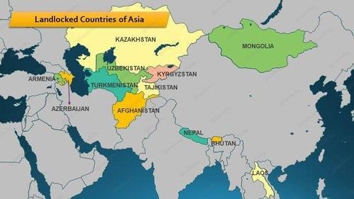 |
Card: 40 / 50 |
|
Riddle: I am a country that shares a border with India and has no access to the ocean. What am I? |
Card: 45 / 50 |
|
The states are primarily organized based on the languages spoken in those regions. |
Card: 48 / 50 |
 Completed! Keep practicing to master all of them. |


