Map Based Questions: Pastoralists in the Modern | Social Studies (SST) Class 9 PDF Download
Pastoralists in the Modern World
Pastoralists are people whose main source of livelihood is livestock with which they move seasonally in search of fresh pasture and water. This map shows the distribution of Pastoralists in India
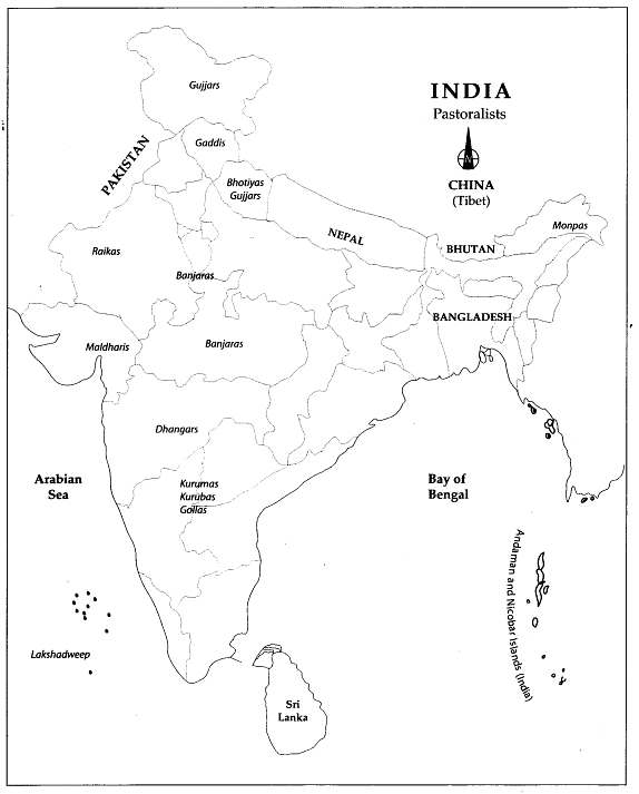
Q1: Local and label the following items on the given map with appropriate symbols.
1. Manpas
2. Gujjars
3. Gaddis
4. Raikas
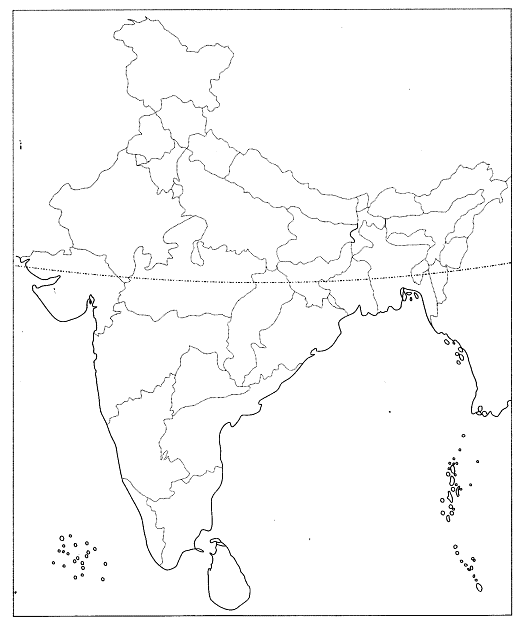
Ans: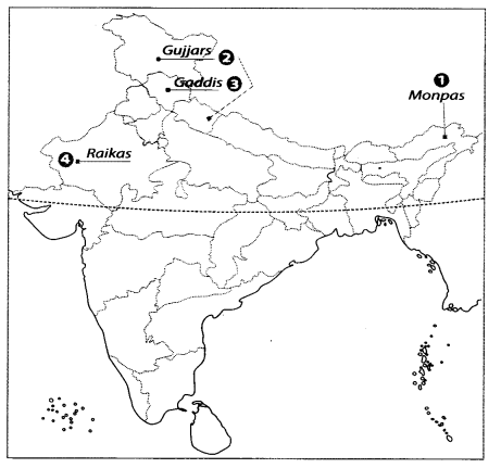
Q2: Features are marked by bumber in the given political outline map of India. Identify these features with the help of the following information and write their correct names on the lines marked in the map.
1. A pastoralist community
2. A pastoralist community
3. A pastoralist community
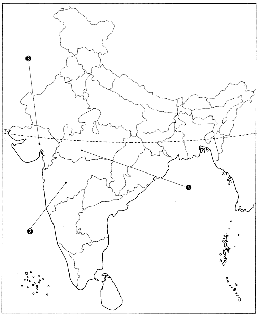
Ans: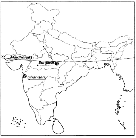
Q3: Features are marked by numbers in the given political map of India. Identify these features with the help of the following information and write their correct names on the lines marked in the map.
1. A pastoralist community
2. A pastoralist community
3. A pastoralist community
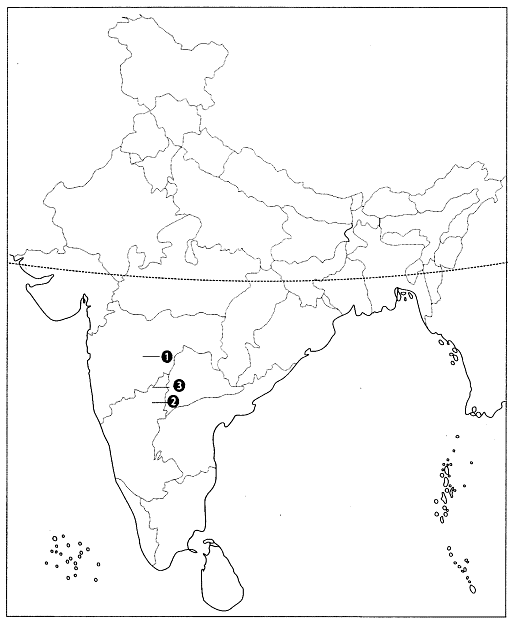
Ans: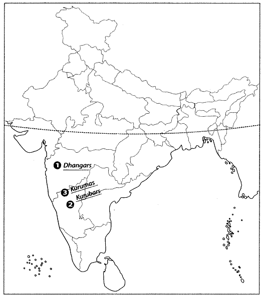
Africa
This map shows the distribution of pastoralist in Africa.
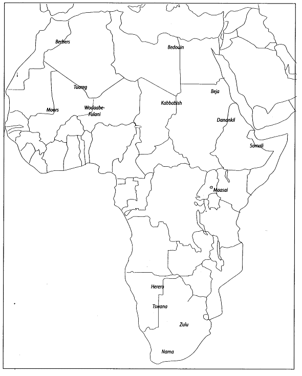
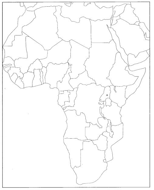
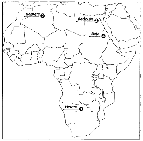
Q4: Locate and label the following items on the given map with appropriate symbols.
1. Herero
2. Berbers
3. Bedouin
4. Beja
Ans:
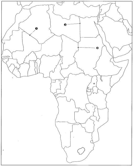
Q5: On the given outline map of Africa. Identify the pastoralist groups which are found at the locations marked 1, 2, 3.
Ans: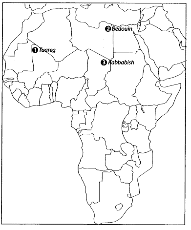
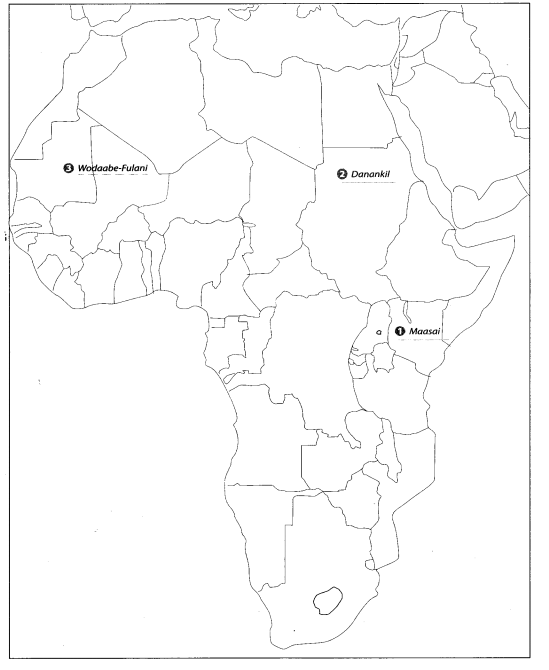
Q6: Locate and label the following items on the given map with appropriate symbols.
1. Maasai
2. Danankil
3. Wodaabe-fulani
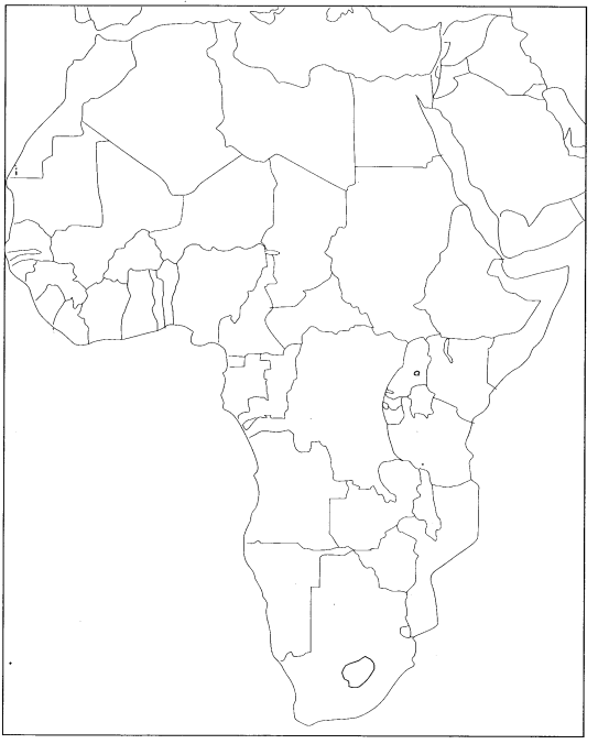
Ans:
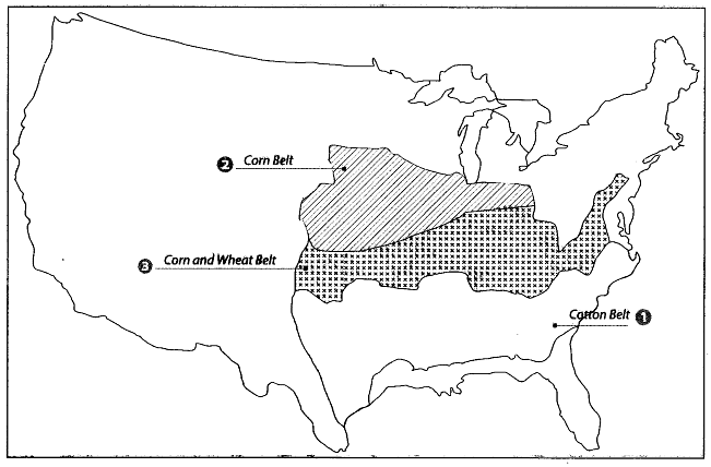
Agriculture Belts in USA-1920
This map shows the agricultural belts in USA during 1920.
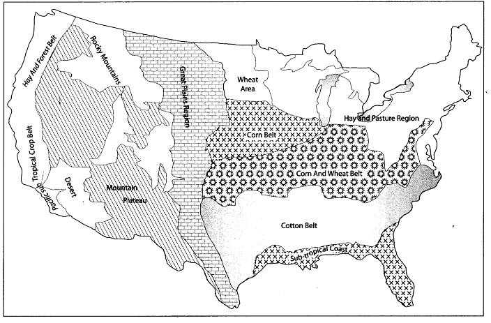
Q7: Local and label the following items on the given map with appropriate symbols.
1. Great plain region
2. Rockey mountains
3. Sub-tropical coast
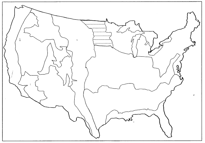
Ans: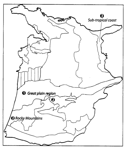
Q8: Features are marked by bumbers in the given map of USA. Identify these features with the help of the following information and write their correct names on the lines marked in the map.
1. The food crops grown here
2. Name the crops grown in the shaded are a in the USA in 1920.
3. A native American community
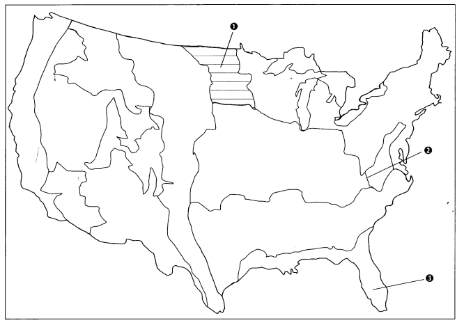
Ans: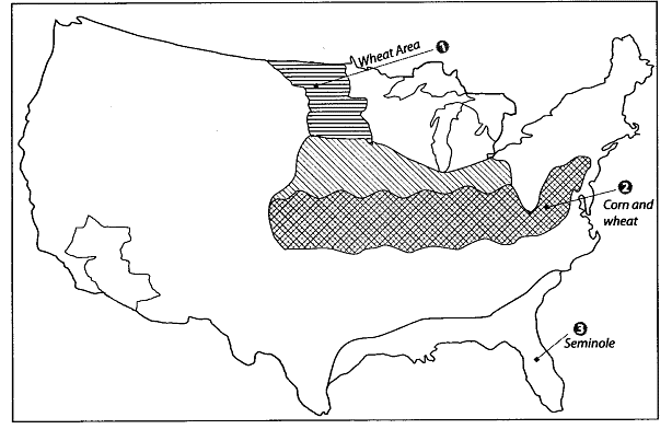
Q9: Locate and label the following items on the given political map with appropriate symbols.
1. Cotton Relt
2. Corn Belt
3. Corn and Wheat Belt
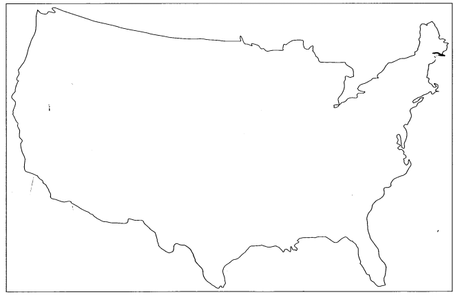
Ans:
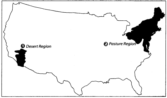
Q10: Locate and label the following items on the given map with appropriate symbols.
1. Desert Region
2. Pasture Region
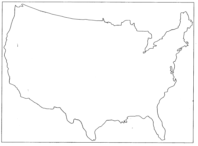
Ans:
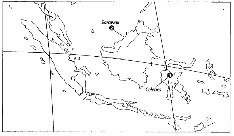
Q11: Features are marked by number in the political map of India. Identify these features with the help of the following information and write their correct names on the lines marked in the map.
1. An island
2. A Malaysian state
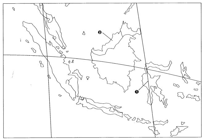
Ans:
|
55 videos|525 docs|78 tests
|


