Unit Test Solutions: Landforms and Life

Attempt all questions. Time: 1 hour, M.M. 30
- Question numbers 1 to 5 carry 1 mark each.
- Question numbers 6 to 8 carry 2 marks each.
- Question numbers 9 to 11 carry 3 marks each.
- Question number 12 to 13 carry 5 marks each
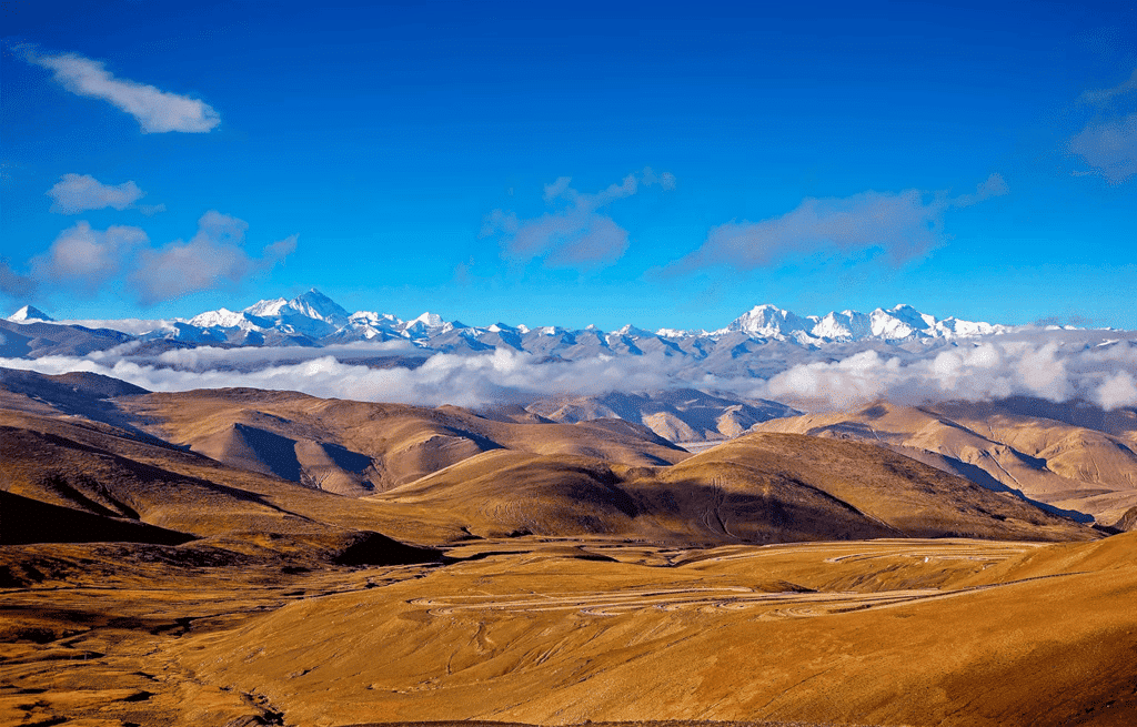
Q1. What is the average altitude of the Tibetan Plateau? (1 Mark)
(a) 3,000 meters
(b) 4,500 meters
(c) 6,000 meters
(d) 2,000 meters
Ans: (b)
Explanation: The Tibetan Plateau is often called the Roof of the World because it stands very high above sea level. Its average height is about 4,500 metres, which makes option (b) correct. The high altitude explains the cold climate and thin air found there.
Q2. Which of the following is a feature of a plateau? (1 Mark)
(a) Steep slopes with a flat surface
(b) Low elevation with valleys
(c) Covered with forests
(d) Large rivers flowing through it
Ans: (a)
Explanation: A plateau is an area that is raised above the surrounding land and has a relatively flat top. The sides are often steep, forming cliffs or slopes. This makes option (a) - steep slopes with a flat surface - the correct description.
Q3. What is terrace farming? (1 Mark)
(a) Farming done at the base of mountains
(b) Cultivation on sloped land by creating steps
(c) Farming in valleys
(d) Farming using advanced machinery
Ans: (b)
Explanation: Terrace farming is practised on hilly or mountainous slopes by making a series of flat platforms or steps. These steps reduce soil erosion and help retain water, making it easier to grow crops on sloping land. Hence option (b) is correct.
Q4. Fill in the blank: The Ganga River originates in the _______. (1 Mark)
Ans: Himalayas
Explanation: The Ganga (Ganges) begins in the Himalayas, rising from the Gangotri Glacier in Uttarakhand. The meltwater from the glacier forms streams that join to become the Ganga.
Q5. True or False: The Aravalli Range is considered to be a young mountain range. (1 Mark)
Ans: False
Explanation: The Aravalli Range is one of the oldest mountain ranges in India. Over millions of years it has been worn down by erosion, so it is not a young range.
Q6. Explain why snow-capped mountains are found at high altitudes. (2 Mark)

Ans: Snow-capped mountains occur at high altitudes because temperature falls as altitude increases. At high heights the air is much colder, so precipitation often falls as snow rather than rain. The low temperatures also cause snow to remain on the peaks for long periods, especially above permanent snow lines, leading to snow-covered summits.
Q7. What makes the Ganga plain so fertile? (2 Mark)
Ans: The Ganga plain is fertile because it is made up of sediment deposits carried by the Ganga River and its tributaries. These sediments enrich the soil, making it ideal for agriculture.
Q8. How does the physical landscape of the Himalayas affect human life and culture? (2 Mark)
Ans: The Himalayas shape human life and culture in several ways. Steep slopes limit large-scale farming, so people use practices such as terrace farming. Many places in the mountains are religious sites and host important pilgrimages, which influence local traditions. The harsh climate and difficult terrain lead people to depend on herding, small-scale agriculture, trade, and mountain tourism for their livelihoods. These conditions have helped form distinct cultural practices, clothing, architecture and ways of living adapted to the mountain environment.
Q9. Discuss the environmental impact of excessive tourism in the mountains and suggest ways to manage it sustainably. (3 Mark)
Ans:
- Environmental Impacts: Excessive tourism can cause deforestation for building hotels and roads, soil erosion on trails and slopes, and waste accumulation including plastic and untreated sewage. It can also disturb wildlife and increase pollution.
- Ways to Manage Sustainably: Limit visitor numbers through permits and regulated seasons to reduce pressure on fragile areas. Promote eco-friendly tourism with strict rules on waste disposal, separate toilets and sewage treatment, and recycling. Use local guides and train communities in waste management and visitor education.
- Additional Measures: Encourage low-impact infrastructure (small-scale lodges), support community-based tourism so locals benefit, and run awareness campaigns to teach tourists about respecting mountain ecosystems. Reforestation and maintaining designated trails also help reduce damage.
Q10. Explain the importance of the Ganges River in the cultural and economic life of India. (3 Mark)
Ans:
- The Ganges River supplies water for irrigation and domestic use, supporting agriculture and the daily needs of millions of people.
- It has great religious and cultural importance for Hindus; many rituals, festivals and pilgrimages take place on its banks, making it a centre of spiritual life.
- Economically, the river supports fishing, river transport in some stretches, and tourism connected with religious sites. Together these activities provide livelihoods for many communities.
Q11. How do plateaus influence the types of industries in the regions where they are found? (3 Mark)
Ans:
- Many plateaus are rich in minerals, so mining for coal, iron, manganese and other ores becomes an important industry. Mining leads to related industries like metal processing and manufacturing.
- Example: The Chhota Nagpur Plateau in India is known for its mineral resources and hosts a number of mining and metallurgical industries.
- Other effects: Because the soil and terrain on plateaus may limit large-scale farming, communities often focus on resource extraction, industry, forestry and sometimes tourism rather than intensive agriculture.
Q12. Analyze the challenges faced by people living in the Thar Desert and how they have adapted to these challenges. (5 Mark)

Ans: The Thar Desert has very low and erratic rainfall, scarce surface water, high daytime temperatures and large temperature differences between day and night. Vegetation is sparse and soils are dry, which makes farming difficult. Sandstorms and soil erosion are additional problems.
Adaptations :
- Water Management: People collect and store water in traditional structures such as tanks, johads and wells. They also dig tube wells and use simple techniques to conserve rainwater and recharge groundwater.
- Livelihoods: Many communities practice animal husbandry (camel and goat rearing), grow drought-resistant crops where possible, and work as traders or artisans. Handicrafts, weaving and tourism provide other sources of income.
- Housing and Clothing: Houses are built with thick walls and small windows to keep out heat, and people wear light, loose clothing and turbans to protect themselves from sun and sand.
- Social and Cultural Adaptations: Strong community networks, local knowledge of the land, and cultural traditions such as folk music and crafts help sustain people in a harsh environment.
Through water-saving methods, suitable livelihoods, adaptive architecture and strong social systems, people of the Thar Desert have developed effective ways to live in and make a home of a difficult landscape.
Q13. Discuss the process of sediment deposition in river plains and its role in agriculture. (5 Mark)
Ans:
- Process: Rivers start in mountains and carry rock particles, sand and silt called sediments. When rivers flow from steep slopes onto flatter plains, their speed decreases and they begin to deposit these sediments. Over time this builds up fertile floodplains made of alluvium.
- Role in Agriculture: The deposited sediments are rich in minerals and organic matter, which make the soil very fertile and ideal for crops. The Ganga plain is a good example, where regular sediment deposition has supported intensive agriculture for centuries.
- Examples of Crops: Fertile river plains grow staple food crops like rice, wheat, maize and millets, as well as fibre crops such as cotton and jute.
- Importance and Challenges: Sediment deposition has helped early civilizations to flourish and continues to support large populations. However, human activities like excessive groundwater extraction and poor irrigation practices can harm these lands, so careful water and soil management are needed to keep the plains productive.
FAQs on Unit Test Solutions: Landforms and Life


