
|
 Ordnance Survey Maps 30 Flashcards |

Start
|

|
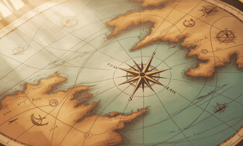
What are the four main points of the compass used to show direction on a map? |

Card: 1 / 30 |
|
|
 The four main points of the compass are north, east, south, and west. |
Card: 2 / 30 |
|
|
Ordnance Survey maps are essential for understanding landscapes because they provide ___ and ___ representations of areas. |
Card: 3 / 30 |
|
|
 Detailed and accurate |
Card: 4 / 30 |
|
|
True or False: The top edge of a map is always considered south if there is no north symbol present. |
Card: 5 / 30 |
|
|
 False. The top edge of the map should be considered north. |
Card: 6 / 30 |
|
|
Fill in the blank: A plan is a type of map that provides detailed information about ___ areas. |
Card: 7 / 30 |
|
|
 Small |
Card: 8 / 30 |
|
|
Riddle: I can show you where to go but I am not a person. I have symbols and scales, can you guess what I am? |
Card: 9 / 30 |
|
|
 A map |
Card: 10 / 30 |
|
|
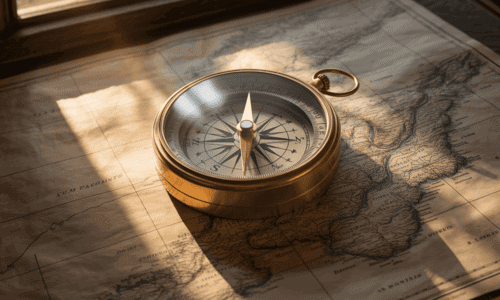
What is the significance of using points of the compass when reading a map? |
Card: 11 / 30 |
|
|
Points of the compass help indicate direction, which is crucial for navigation and understanding the layout of an area. |
Card: 12 / 30 |
|
|
Which type of map includes features such as schools, shopping centers, and parks? |
Card: 13 / 30 |
|
|
 A plan |
Card: 14 / 30 |
|
|
How can you remember the order of the main compass points? |
Card: 15 / 30 |
|
|
 Unlock all Flashcards with EduRev Infinity Plan Starting from @ ₹99 only
|
|
|
|
 You can remember their order with the phrase 'Never Eat Shredded Wheat'. |
Card: 16 / 30 |
|
|
What does the scale on a map indicate? |
Card: 17 / 30 |
|
|
The scale shows distance ratio.
|
Card: 18 / 30 |
|
|
To measure a distance that is not straight on a map, you should ___ and measure each section separately. |
Card: 19 / 30 |
|
|
 Divide the route into sections |
Card: 20 / 30 |
|
|
True or False: A map should never include a scale line. |
Card: 21 / 30 |
|
|
 False. Every map should have a scale line to help measure distances accurately. |
Card: 22 / 30 |
|
|
Fill in the blank: If 1 cm on the map equals 1 km in real life, the scale is ___ . |
Card: 23 / 30 |
|
|
 1:100,000 |
Card: 24 / 30 |
|
|
Riddle: I help you find your way, but I’m not alive. I show you distances, but I don’t move. What am I? |
Card: 25 / 30 |
|
|
 A map |
Card: 26 / 30 |
|
|
What is the method to measure the shortest distance between two points on a map? |
Card: 27 / 30 |
|
|
 You measure the straight line distance using the scale provided on the map. |
Card: 28 / 30 |
|
|
What is the purpose of using a piece of paper when measuring curved distances on a map? |
Card: 29 / 30 |
|
|
The piece of paper helps to follow the bends of the route accurately, allowing for precise measurement of curved distances. |
Card: 30 / 30 |
|
|
Completed! Keep practicing to master all of them. |

Restart
|


