Geography: August 2025 Current Affairs | General Test Preparation for CUET UG - CUET Commerce PDF Download

GS1/Geography
The Problem with Africa’s Representation on Maps
Why in News?
The African Union (AU) has endorsed the Correct the Map campaign, advocating for the replacement of the Mercator projection with alternatives such as the Equal Earth map. The Mercator projection, still prevalent in educational institutions and media, distorts geographical realities by shrinking the size of Africa while inflating that of Europe, North America, and Greenland. The AU claims this distortion has led to a long-standing symbolic marginalization of Africa and believes that adopting a more equitable map projection will restore geographical accuracy and dignity.
Key Takeaways
- The Mercator projection has been criticized for its geographic distortions.
- There is a need for alternative map projections that more accurately represent the size of continents.
- The AU's initiative highlights a broader movement towards correcting historical inaccuracies in mapping.
Additional Details
- Mercator Projection: Developed in 1569, this projection was designed to assist navigation by allowing sailors to follow straight rhumb lines across the seas. However, it severely distorts scale, making landmasses near the poles appear larger and those near the equator much smaller. For instance, Africa, which spans approximately 30 million sq. km, is depicted as nearly the same size as Greenland, which is actually 14 times smaller.
- Equal Earth Projection: Introduced in 2018, this alternative map projection aims to preserve the relative sizes of continents while introducing some curvature. It minimizes distortions associated with size, presenting Africa and other equatorial regions more accurately.
- All map projections inherently involve trade-offs, balancing accuracy and usability, with significant political implications. The Mercator map has long reinforced perceptions of Africa's marginalization by depicting it as less significant.
- The endorsement of the Correct the Map campaign by the AU signifies a strong institutional push for change, supported by organizations like the World Bank and National Geographic.
In summary, the movement to correct map representations is not merely a technical adjustment but a significant step towards recognizing and addressing historical and cultural biases that have shaped perceptions of continents, particularly Africa.
GS1/Geography
Key Facts about Minicoy Island
 Why in News?
Recently, a 12-year-old tigress that had been unwell and wandering near the forest boundary in the Singara forest range of the Mudumalai Tiger Reserve (MTR) passed away. This news brings attention to the biodiversity and conservation efforts in regions like Minicoy Island.
Key Takeaways
- Minicoy Island is the second largest and southernmost island in the Lakshadweep archipelago.
- Famous for its stunning coral reefs and white sand beaches, Minicoy is surrounded by the Arabian Sea.
- The island covers an area of 4.80 sq.km and is crescent-shaped.
- It is located near the busy 9-degree channel, approximately 130 km from the northernmost Maldives island.
Additional Details
- Lagoon: The island features a large lagoon on its western side, which is about 6 km wide with two entrances—one on the west and another at the northernmost point. The lagoon's area is approximately 30.60 sq.km.
- Elevation: The island sits about 2 m above mean sea level on the western side and 3 to 4 m on the eastern side, stretching approximately 11 km in length.
- Historical Lighthouse: Minicoy is home to one of the oldest lighthouses in the region, constructed in 1885.
- Cultural Distinction: The island's culture sets it apart from the Northern group of islands, featuring carefully organized villages known as ‘Avah’, each led by a Moopan.
- Language: The predominant languages spoken include Hindi, English, Malayalam, and Mahal, with Mahal being a linguistic minority unique to Minicoy.
- Folk Dances: Traditional folk dances of Minicoy include ‘Lava’, ‘Thaara’, ‘Dandi’, ‘Fuli’, and ‘Bandiya’.
Minicoy Island, with its rich cultural heritage and natural beauty, remains a significant part of India's geographical and ecological landscape.
GS1/Geography
Key Facts about Bhagirathi River
 Why in News?
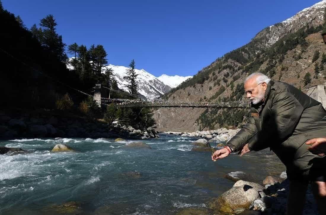
A significant cloudburst event in the Uttarkashi district of Uttarakhand has led to the formation of a water body resembling a lake, stretching over a kilometer on the Bhagirathi River near Harsil. This situation has prompted authorities to initiate urgent drainage operations to manage the water levels.
Key Takeaways
- The Bhagirathi River is one of the two primary headstreams of the Ganges River, the other being the Alaknanda.
- According to Hindu mythology, Bhagirathi is regarded as the source stream of the Ganges, whereas hydrological studies identify Alaknanda as the true source due to its flow and length.
- The river originates from the Gaumukh Glacier, located at the base of the Khatling and Gangotri Glaciers in the Garhwal Himalayas.
- Major tributaries of the Bhagirathi include Kedar Ganga, Jadh Ganga, and Asi Ganga.
- The river joins the Alaknanda at Devprayag, where they collectively flow as the Ganges River towards the Bay of Bengal.
Additional Details
- Religious Significance: The confluence of the Bhagirathi and Alaknanda rivers is a sacred site in Hindu mythology and forms a vital part of the Panch Prayag Yatra, which includes visits to the five holy confluences of Uttarakhand: Devprayag, Rudraprayag, Nandprayag, Karnaprayag, and Vishnuprayag.
- The banks of the Bhagirathi are home to numerous sacred cities and sites, including Gangotri, which is recognized as one of the Char Dham pilgrimage sites.
- Major dams on the river include Maneri Dam, Koteshwar Dam, and Tehri Dam.
The Bhagirathi River not only plays a crucial role in the hydrology of the region but also holds immense cultural and spiritual significance for millions, making it an essential topic of study.
GS1/Geography
1950 Assam Earthquake and Future Seismic Risks in the Himalayas
Why in News?
On August 15, 1950, a devastating earthquake with a magnitude of 8.6 struck Northeast India and its surrounding regions, marking it as the strongest recorded earthquake on land.
Key Takeaways
- Magnitude: 8.6, the highest recorded earthquake on land.
- Impact Area: Tremors felt over 3 million sq. km across India, Myanmar, Bangladesh, Tibet, and South China.
- Casualties: Over 1,500 deaths in India and more than 4,000 in Tibet, along with significant livestock loss and infrastructure damage.
- Secondary Disasters: Triggered landslides that blocked rivers, leading to devastating flash floods.
Additional Details
- Epicentre: Located 40 km west of Rima (Zayu), near the India-Tibet border within the Mishmi Hills.
- Tectonic Context: Positioned on the Indian-Eurasian Plate boundary within the Eastern Himalayan Syntaxis (EHS), influenced by the Sunda Plate.
- Fault Type: Characterized by strike-slip motion with thrust faulting, which is atypical for Himalayan earthquakes.
- Plate Convergence: The Eastern Himalayas converge at a rate of 10-38 mm/year compared to approximately 20 mm/year elsewhere.
- Aftershocks: Indicated activation of multiple faults from the Syntaxial bend to Himalayan thrust faults in Arunachal Pradesh.
Lessons and Future Risks
- Magnitude Potential: Confirms that segments of the Himalayan region can generate earthquakes of magnitude 8.6 or higher.
- Central Himalayan Risk: Identified as a potential site for similar future seismic events.
- Vulnerability Today: Increased due to urbanization and significant infrastructure developments in seismic zones.
- Infrastructure Safety: Necessitates stringent norms for dams and high-risk projects in the Eastern Himalayas.
- Preparedness: Emphasizes the importance of seismic hazard mapping and disaster readiness.
This information highlights the critical need for awareness and preparedness concerning seismic risks in the Himalayas, especially considering the historical context of the 1950 Assam earthquake.
Consider the following statements:
- In a seismograph, P waves are recorded earlier than S waves.
- In P waves, the individual particles vibrate to and fro in the direction of wave propagation whereas in S waves, the particles vibrate up and down at right angles to the direction of wave propagation.
Which of the statements given above is/are correct?
Options: (a) 1 only (b) 2 only (c) Both 1 and 2* (d) Neither 1 nor 2
GS1/Geography
Rivers, Dams, and Headworks of Punjab
 Why in News?
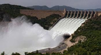
Floods have recently impacted villages in Punjab due to heavy rainfall in Himachal Pradesh and high dam discharges from the Bhakra, Pong, and Ranjit Sagar dams, along with regulated headworks flow.
Key Takeaways
- Punjab's rivers include the Sutlej, Beas, and Ravi, which play crucial roles in irrigation and hydropower.
- Major dams like Bhakra, Pong, and Ranjit Sagar contribute significantly to water management in the region.
Additional Details
- Sutlej: Originates from Rakshastal Lake in Tibet, enters India at Shipki La (HP), and flows into Punjab at Rupnagar. It merges with the Beas at Harike before joining the Chenab in Pakistan.
- Bhakra Dam: Located near Nangal on the HP-Punjab border, it is one of India's highest gravity dams, creating the Gobind Sagar Lake. It facilitates irrigation and hydropower generation.
- Headworks: Key structures that manage the flow of rivers. Examples include the Ropar headworks, which feeds Sirhind and BML canals in Punjab and Haryana, and the Hussainiwala headworks, supplying water to Bikaner and eastern canals in Punjab and Rajasthan.
- Pong Dam: Also known as Maharana Pratap Sagar, located in Kangra, HP, it is essential for irrigation and power generation, regulating the flow of Beas and Sutlej water to supply Rajasthan and Punjab canals.
- Ravi: Originates from Bara Banghal at Rohtang Pass, enters Punjab near Pathankot, and flows through Gurdaspur before entering Pakistan to join the Chenab.
- Ranjit Sagar Dam: Situated on the Punjab-Jammu & Kashmir border, it serves for irrigation and hydropower, with the Madhopur headworks feeding the UBDC canal in Punjab.
This information highlights the significant infrastructure in Punjab that is crucial for managing the water resources and the impact of recent climate events on the region's agriculture and population.
GS1/Geography
Lipulekh Pass
Why in News?
The Indian government has rejected Nepal's claims over Lipulekh Pass, especially in light of recent developments where India and China resumed trade through border points.
Key Takeaways
- Lipulekh Pass is a high-altitude mountain pass in the Kumaon region of Uttarakhand.
- It connects India with Tibet and has significant historical and religious importance.
Additional Details
- Location: Lipulekh Pass is situated near the trijunction of India, Nepal, and China, linking Uttarakhand to Tibet.
- Altitude: The pass is located at approximately 5,334 meters (17,500 feet), making it a strategic gateway to the Himalayas.
- Trade Significance: It was the first Indian border post opened for trade with China in 1992, followed by Shipki La Pass in 1994 and Nathu La Pass in 2006.
- Ancient Trade Route: Historically, it has served as a trade route connecting the Indian subcontinent to the Tibetan plateau.
- Religious Importance: Lipulekh Pass is also crucial for Hindu pilgrims as it is part of the Kailash Mansarovar Yatra.
In summary, Lipulekh Pass holds immense geographical, historical, and religious significance, serving as a vital link between India and its neighbors.
GS1/Geography
Key Facts about Sutlej River
 Why in News?
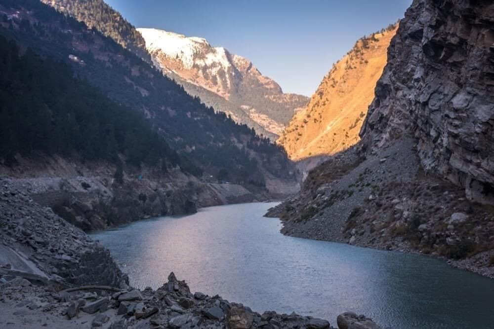
The Sutlej River is currently in a state of swelling due to continuous rainfall in its catchment areas and significant water releases from nearby dams, prompting evacuation efforts in several low-lying villages in the Fazilka and Ferozepur districts.
Key Takeaways
- The Sutlej River is a crucial tributary of the Indus River.
- It is the longest of the five major rivers flowing through the Punjab region of northern India and Pakistan.
- Known as "Satadree," it originates in the high Himalayas.
Additional Details
- Origin: The Sutlej rises from the north slope of the Himalayas at Lake Rakshastal in southwestern Tibet, at an elevation of over 15,000 feet (4,600 meters). It is one of only three Trans-Himalayan rivers, alongside the Indus and the Brahmaputra, that traverse the Himalayan ranges.
- Course: The river enters India by flowing west and southwest through the Shipki La Pass in Himachal Pradesh, at an altitude of 6,608 meters. It then flows through Punjab near Nangal before merging with the Beas River, which contributes to forming a 105 km stretch of the India-Pakistan border.
- The Sutlej continues for another 350 km before joining the Chenab River. Together, the Sutlej and Chenab form the Panjnad River, which eventually merges into the Indus River.
- Length: The Sutlej River has a total length of 1,550 km, with approximately 529 km flowing through Pakistan.
- The hydrology of the Sutlej is influenced by spring and summer snowmelt from the Himalayas, as well as the South Asian monsoon.
- Tributaries: Major tributaries include the Spiti River, Baspa River, Soan River, and Nogli Khad.
- The waters of the Sutlej are allocated to India as per the Indus Waters Treaty with Pakistan, primarily for irrigation purposes.
- Numerous hydroelectric and irrigation projects, including the Bhakra-Nangal Dam, Kol Dam, Nathpa Jhakri Project, and Baspa Hydel Scheme, are situated along the river.
This information highlights the importance of the Sutlej River in regional geography, ecology, and water resource management.
GS1/Geography
Tawi River
Why in News?
Recently, India issued a warning to Pakistan regarding a potential flood in the Tawi River as a humanitarian gesture.
Key Takeaways
- The Tawi River is a significant left-bank tributary of the Chenab River.
- It holds sacred importance in the Jammu region and is referred to as "Surya Putri" in ancient texts.
Additional Details
- Origin: The river originates from Kalpas Kund in Seo Dhar, located in the Bhaderwah area of the Doda district in Jammu and Kashmir. It flows downwards to Sudh Mahadev, moving through steep hills and plains before entering Pakistan's Punjab province.
- Catchment Area: The catchment area of the Tawi River up to the Indian border (Jammu) is approximately 2168 sq.km, encompassing the districts of Jammu, Udhampur, and a small part of Doda.
- Tributaries: Several tributaries, including Bhuteshwari (Birma), Duddhar, and Jajjhar, merge into the Tawi River.
- The Tawi River runs through Jammu, effectively dividing the city into two segments, and provides the primary water source for the entire city.
This information highlights the importance of the Tawi River not only as a geographical feature but also as a vital resource for the region.
|
164 videos|800 docs|1155 tests
|
FAQs on Geography: August 2025 Current Affairs - General Test Preparation for CUET UG - CUET Commerce
| 1. What are the main issues regarding Africa's representation on maps? |  |
| 2. What are some key geographical features of Minicoy Island? | |
| 3. What is the significance of the Bhagirathi River in India? | |
| 4. What were the impacts of the 1950 Assam Earthquake on future seismic risks in the Himalayas? | |
| 5. What are the primary features of the Sutlej River and its importance in Punjab? | |


ppt
,Viva Questions
,Geography: August 2025 Current Affairs | General Test Preparation for CUET UG - CUET Commerce
,study material
,Previous Year Questions with Solutions
,shortcuts and tricks
,Free
,Summary
,Semester Notes
,mock tests for examination
,Geography: August 2025 Current Affairs | General Test Preparation for CUET UG - CUET Commerce
,video lectures
,Exam
,Sample Paper
,Objective type Questions
,Important questions
,Extra Questions
,MCQs
,past year papers
,practice quizzes
,Geography: August 2025 Current Affairs | General Test Preparation for CUET UG - CUET Commerce
;


Geography: August 2025 Current Affairs Free PDF Download
Importance of Geography: August 2025 Current Affairs
Geography: August 2025 Current Affairs Notes
Geography: August 2025 Current Affairs CUET Commerce Questions
Study Geography: August 2025 Current Affairs on the App
|
© EduRev
|
Education Revolution
|


|


