Savindra Singh Summary : Fundamental Concepts in Geomorphology | Geography Optional for UPSC PDF Download

Geomorphology is the study of the shapes of land and the processes that influence them. Over time, research in this field has established important ideas that clarify how landforms change. W.D. Thornbury (1959) summarised these ideas, creating a framework for understanding how landforms develop. Below are the main concepts, rewritten for better clarity.
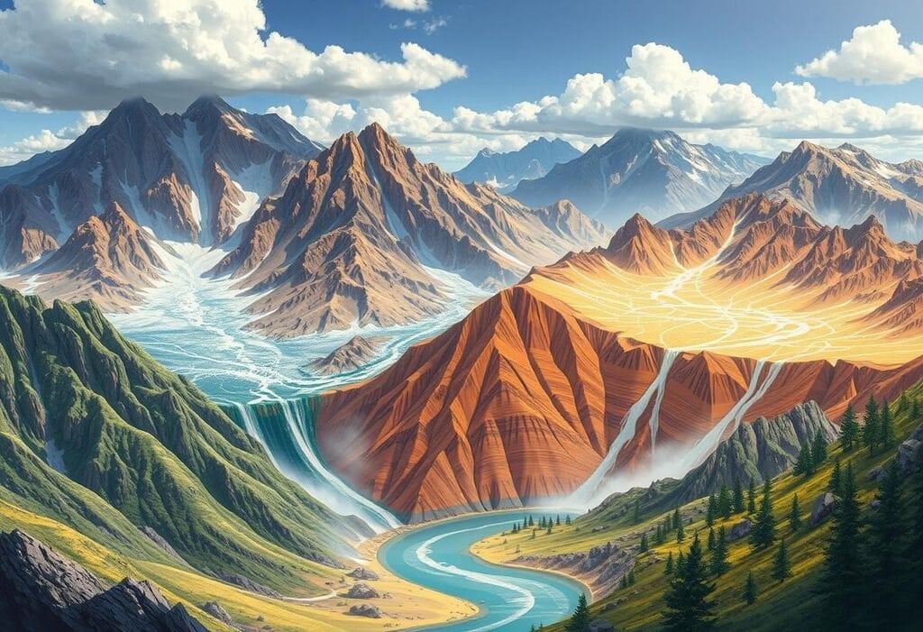
 Geological Landscapes
Uniformitarianism in Geological Processes
Overview
The principle of uniformitarianism, initially suggested by James Hutton (1785) and later refined by John Playfair (1802) and Charles Lyell, asserts that the physical processes and laws affecting Earth's surface today have been at work throughout geological history, even though their strength has varied.
Key Points
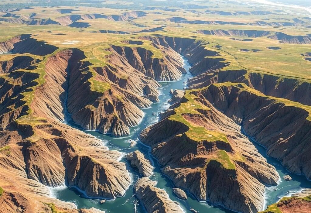
 Mountain Cycles
- Historical Context. Hutton suggested that geological processes have always operated consistently over time. This idea is captured in phrases like "the present is the key to the past" and "no vestige of a beginning, no prospect of an end." However, this concept has been updated to recognize that the intensity of these processes can vary.
- Process Variations. For example, glaciers were more prevalent during the Carboniferous and Pleistocene periods than they are today, due to changes in climate. Similarly, volcanic activity was at its peak during the Cretaceous period, leading to the formation of large lava plateaus, and mountain building occurred in specific eras such as the Pre-Cambrian, Caledonian, Variscan, and Tertiary periods.
- Climatic Shifts. Historical climates were vastly different from present-day conditions. For instance, Great Britain, which is temperate today, had an equatorial climate during the Carboniferous period. In contrast, coal regions in India exhibit evidence of past glacial activity followed by humid conditions.
- Cyclic Nature. Geological processes, particularly those driven by internal forces from within the Earth, like tectonic activity, operate in cycles. Hutton observed a natural order in these processes, where destruction, such as the erosion of uplands, leads to construction, like the formation of alluvial plains, all balanced by a self-regulating mechanism.
- Examples. The Appalachian Mountains have undergone multiple cycles of uplift and erosion, resulting in the formation of peneplains such as Schooley, Shenandoah, and Harrisburg. Similarly, Peninsular India has experienced cyclic landscape evolution, including the Dharwar, Cuddapah-Vindhyan, and Gondwana cycles.
Geological Structure and Its Impact on Landforms
 Geological Diversity
Geological structure is fundamental in shaping landforms as it affects both primary (tectonic) and secondary (erosional) features. This concept, emphasized by W.M. Davis in his model of 'structure, process, time,' highlights the interplay between geological structure and landform development.
Introduction
Geological structure significantly influences the development of landforms by impacting both primary (tectonic) and secondary (erosional) features. This concept, emphasized by W.M. Davis in his model of 'structure, process, time,' underscores the crucial role of geological structure in shaping the landscape.
1. Lithology and Rock Types
- Role of Rock Types: Different rock types—igneous, sedimentary, and metamorphic—affect landform characteristics based on their composition and resistance to erosion. For instance, hard igneous rocks like granite form prominent landforms, while softer sedimentary rocks like shale erode into flatter regions.
- Examples:
- Igneous Landforms: Basaltic lava plateaus, resistant to water erosion, may develop deep canyons (e.g., Mahabaleshwar plateau, India). Granitic formations, such as the Kanke Dome in Ranchi, create exfoliation domes and tors due to weathering.
- Sedimentary Landforms: Sandstones with silica cement create rugged landscapes, while shales erode into gentle slopes. In humid areas, limestone can develop karst features like sinkholes and caves (e.g., cone karst in Jamaica).
- Metamorphic Landforms: Quartzites produce steep cliffs, slates erode into smoother landscapes, and gneiss can form domes and tors.
2. Arrangement of Rocks
- Structural Influence: The arrangement of rock layers—folded, faulted, domed, homoclinal, or horizontal—shapes the landscape in various ways. For example:
- Folded Structures: Anticlines and synclines can create a trellis drainage pattern, leading to valleys forming from anticlines (e.g., Jura Mountains).
- Faulted Structures: Faults generate steep edges that can erode into diverse fault-line features (e.g., normal faults).
- Domed Structures: Upward movement of rock or magma creates radial drainage patterns and features like cuestas (e.g., Black Hills, USA).
- Homoclinal Structures: Tilted layers form cuestas with steep slopes and gentle dips (e.g., coastal plains).
- Horizontal Structures: Flat layers of resistant rock give rise to mesas and buttes (e.g., Bhander plateau, India).
3. Rock Characteristics
- Chemical and Mechanical Properties: The chemical composition of rocks influences their weathering patterns (e.g., limestone dissolves easily in wet conditions). The joint pattern in rocks affects water flow and erosion, leading to features like tors or rectangular drainage.
- Permeability: Rocks that permit water flow (e.g., sandstone) resist erosion, forming elevated terrains, while impermeable rocks (e.g., clay) erode into lower areas.
- Relative Hardness: Rock strength can vary with environmental conditions; for instance, limestone may be weak in wet climates but strong in arid regions.
Conclusion
- Geological structure is a crucial, though not sole, factor influencing landforms. External processes like weathering and erosion can sometimes dominate, making geological structure a less active element in certain cases.
- The interplay of rock types, their arrangement, and characteristics results in diverse landforms, ranging from granitic domes to karst landscapes.
Distinctive Imprints of Geomorphic Processes
 Landform Dynamics
Geomorphic processes, including fluvial, glacial, and aeolian activities, each leave their unique imprint on the landscape, shaping it in distinct ways.
Types of Geomorphic Processes
- Endogenetic Processes: These processes originate from within the Earth and include activities such as folding, faulting, and volcanic eruptions. They are responsible for creating surface features like mountains and plateaus.
- Exogenetic Processes: These processes are driven by external forces, such as weather. They involve weathering, erosion, and deposition carried out by agents like rivers, glaciers, wind, and sea waves.
- Extraterrestrial Processes: Although rare, events like meteorite impacts can also lead to significant changes in landforms.
Mechanisms of Exogenetic Processes
- Erosional Mechanisms:
- Corrosion (Solution): This process involves the dissolution of soluble rocks, such as limestone, by water. It is particularly effective in areas with groundwater or coastal regions.
- Abrasion (Corrasion): Abrasion refers to the physical wearing down of rocks by erosion tools like boulders and sand. For instance, rivers can create potholes, while wind can sandblast rock surfaces.
- Hydraulic Action: Hydraulic action involves the mechanical loosening of rocks due to water pressure. This process is especially significant in rivers and along coastlines affected by sea waves.
- Attrition: Attrition refers to the wear and reduction in size of erosional tools during their movement.
- Deflation: Deflation is the process of removing loose particles from the ground by wind. It can lead to the formation of features like blowouts.
- Periglacial Mechanisms: In cold regions, processes such as frost weathering, soil creep, and cryoturbation play a crucial role in shaping the landscape.
- Transportational Mechanisms:
- Rivers transport materials through various methods, including traction, saltation, suspension, and solution. The power of rivers to transport materials is linked to their speed, as described by Gilbert’s Sixth Power Law.
- Sea waves transport materials both back and forth and parallel to the shore through longshore currents.
- Wind moves particles in different directions using methods such as suspension, saltation, and surface creep.
- Glaciers transport debris along valley floors or on their surfaces.
- In periglacial areas, processes like solifluction and gelifluction are involved in the transport of materials.
- Depositional Mechanisms:
- Rivers deposit sediments when there is a decrease in their speed or slope, leading to the formation of floodplains and deltas.
- Groundwater deposits minerals like speleothems, such as stalactites, when it becomes saturated.
- Sea waves create temporary deposits like beaches.
- Wind is responsible for forming dunes and loess deposits.
- Glaciers leave behind features such as moraines and outwash plains as they melt.
- Endogenetic processes are responsible for creating relief features, while exogenetic processes contribute to reducing relief through erosion and deposition.
- Each geomorphic process results in distinctive landforms, such as river valleys, glacial cirques, or sand dunes, which reflect the specific ways in which these processes operate.
Geomorphic Scale in Landform Studies
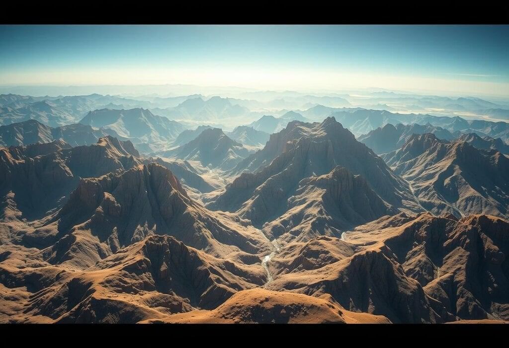 Geological Transformation
Understanding landform development requires considering the geomorphic scale, which encompasses both time and space. Landscapes are dynamic and change over time, influenced by their size and extent.
Time Scales
- Cyclic Time. This time frame spans millions of years and is crucial for studying large-scale geomorphology, such as the Davisian cycle of erosion. Key factors in this context include time, initial landform shape, geology, and climate. The outcomes are influenced by vegetation and water flow.
- Graded Time. Covering hundreds to thousands of years, graded time focuses on stability within smaller systems like drainage basins. Additional considerations include plant life and water runoff.
- Steady Time. Lasting tens of years, steady time examines short sections of streams or slopes where erosion and deposition are in balance.
Spatial Scales
- Historical Evolution. The focus of study areas has evolved from large regions (as proposed by Fenneman in 1914) to drainage basins (Horton in 1945) and morphotops (Gellert in 1982), indicating a shift from macro to micro scales in geomorphic studies.
- Scale Influence. Smaller regions, such as gullied areas, exhibit rapid responses to geomorphic changes, whereas larger basins may obscure short-term effects.
- Time and space actively influence processes and landforms across various scales.
- Contemporary geomorphology emphasizes shorter time frames (graded and steady) and smaller areas for in-depth studies of geomorphic processes.
Geomorphological Equation
 Geological Landscapes
K.J. Gregory (1977) introduced a geomorphological equation, F = f(P, M)dt, which states that landform (F) depends on process (P), material (M), and time (dt).
Study of Elements
- Form (Landforms). Morphometric studies examine the shape and size of landforms, with the help of aerial photographs and satellite images.
- Materials. This includes the types of rocks, geological structures, and surface deposits that influence the development of landforms.
- Processes. These are the internal and external actions that shape landforms, studied through field observations and experiments.
Balancing the Equation
- This involves establishing connections between form, process, and materials using systems approaches to develop theories about landscape evolution.
Differentiating the Equation
- This aspect examines how geomorphic systems change over time, utilizing cyclic, graded, or steady time scales for analyzing the past and making future predictions.
Applying the Equation
- The knowledge gained from this equation is applied to make predictions about space and time, addressing environmental issues such as erosion, sedimentation, and land use, particularly in urban geomorphology.
- The geomorphological equation integrates the interactions of form, process, and material over time.
- Applied geomorphology utilizes this framework to tackle real-world challenges.
Complexity in Geomorphic Evolution
 Geological Transformation
Landform evolution is a complex process influenced by many factors and processes, not just one main cause. This complexity makes simple explanations inadequate.
Polycyclic Evolution
- Landscapes exhibit signs of multiple erosion cycles, resulting in a complex terrain that reflects different geological histories.
- Example: The planation surfaces in Peninsular India, which show evidence of various erosion cycles.
Multiple Processes
- Within a single cycle, different processes such as fluvial (river-related) and aeolian (wind-related) work together, leading to the formation of diverse landforms.
- Example: The presence of dunes and pediments in dry areas, created by the interplay of various processes.
Spatial Variations
- Variations in rock type, climate, and vegetation within a region contribute to the complexity of landform evolution.
Tectonic Events
- Events such as uplift, faulting, or subsidence can disrupt existing cycles and initiate new periods of erosion.
Base-Level Changes
- Changes in sea level, driven by tectonic or climatic factors, can lead to the development of polycyclic landforms.
Simple Landscapes
- These landscapes are formed by a dominant process acting within a single cycle.
- Example: Stepped landscapes shaped primarily by river activity.
Compound Landscapes
- These are created from a combination of various processes.
- Example: Features formed by the combined actions of glaciers and rivers in Pleistocene regions.
Monocyclic Landscapes
- Developed from a single erosion cycle, these landscapes are typically found on volcanic or coastal plains.
Polycyclic Landscapes
- Resulting from multiple erosion cycles, these landscapes feature remnants of earlier cycles, such as incised meanders.
- Example: The Appalachian highlands, where such features are prevalent.
Resurrected Landscapes
- These landscapes consist of previously hidden landforms that have been revealed by erosion.
- Example: Areas in India where lava-covered landforms from the Cretaceous period have been exposed due to erosion.
Key Points
- Most landforms result from the interaction of various factors and processes, rather than a single cause.
- The complexity in landform evolution arises from the detailed interplay of cyclic erosion processes and spatial-temporal differences across different landscapes.
Young Age of Earth’s Topography
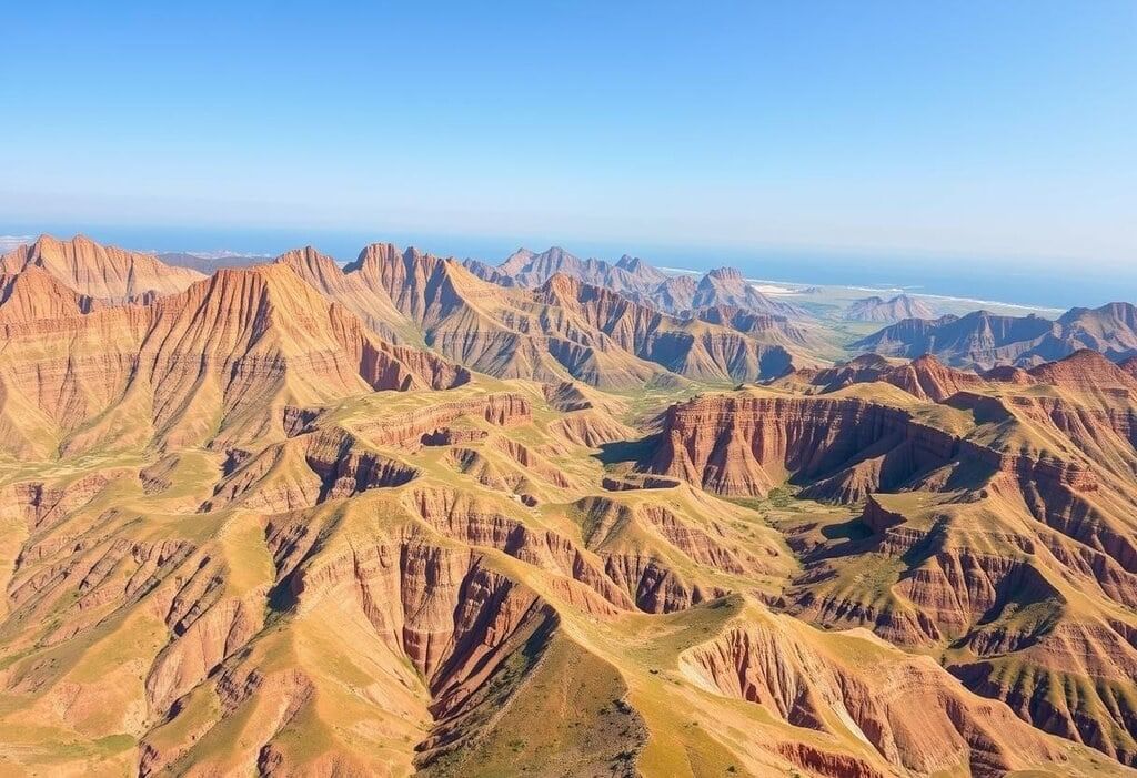
 Breathtaking Terrain
Most of Earth’s current landscape was shaped during the Tertiary and Quaternary periods, as older landforms have either been eroded or significantly changed.
Tertiary and Quaternary Influences
- Tertiary Orogeny. Events that built mountains, like the Himalayas and the Alps, reshaped many landscapes.
- Pleistocene Glaciation. Four ice ages changed North America and Eurasia, creating lakes and leaving behind moraines.
- Himalayan Effects. The uplift of the Himalayas rejuvenated areas such as Chotanagpur, seen in the form of terraces and waterfalls.
Relic Landforms
- Some older landforms from before the Tertiary still exist as relics, preserved by slow erosion or being buried, such as ancient river valleys.
- Changes in climate, like the Carboniferous glaciation in the southern hemisphere, helped preserve fossilised landforms.
- Tertiary and Quaternary processes are the main influences on today’s topography, with relic landforms showing signs of older origins.
- Plate tectonics and changes in climate highlight how landscapes have evolved dynamically.
Climatic Influence on Landforms
 Textured Terrain
Climatic geomorphology explores how different climatic conditions lead to the formation of distinct landforms through specific geomorphic processes.
Climatic Control: Temperature and precipitation directly affect weathering and erosion, while vegetation and soils mediate these effects.
Diagnostic Landforms: Features like laterites, inselbergs, and pediments indicate specific climatic conditions.
Morphogenetic Regions: The world can be divided into various climatic regions, such as glacial, arid, and tropical, based on prevailing geomorphic processes.
Further Exploration: For more detailed discussions, refer to the chapter on climatic geomorphology in the book.
Summary
 Geological Dynamics
- The concepts of geological structure, processes, time, and climate are crucial in understanding how Earth's landforms are shaped.
- Uniformitarianism focuses on the continuous nature of processes over time.
- Geological structure plays a key role in determining the shape of landforms, and each geological process leaves a distinct mark on the landscape.
- Geomorphic scales and the geomorphological equation are important tools for analyzing landform development.
- Some areas of topography are relatively young and complex due to recent geological activities, showcasing both polycyclic and recent influences.
- Climatic geomorphology highlights the impact of climate in creating unique landform groups.
- Collectively, these concepts enhance our understanding of how landforms evolve over time.
|
303 videos|636 docs|252 tests
|
FAQs on Savindra Singh Summary : Fundamental Concepts in Geomorphology - Geography Optional for UPSC
| 1. What is uniformitarianism and how does it relate to geological processes? |  |
| 2. How does geological structure influence the formation of landforms? | |
| 3. What are geomorphic processes and what distinctive imprints do they leave on the landscape? | |
| 4. What is the geomorphological equation and why is it important in landform studies? | |
| 5. How do climatic factors influence the development of landforms? | |


practice quizzes
,Objective type Questions
,ppt
,Semester Notes
,video lectures
,Savindra Singh Summary : Fundamental Concepts in Geomorphology | Geography Optional for UPSC
,Viva Questions
,Important questions
,Free
,Savindra Singh Summary : Fundamental Concepts in Geomorphology | Geography Optional for UPSC
,Sample Paper
,shortcuts and tricks
,Summary
,Exam
,Previous Year Questions with Solutions
,study material
,mock tests for examination
,past year papers
,Savindra Singh Summary : Fundamental Concepts in Geomorphology | Geography Optional for UPSC
,Extra Questions
,MCQs
;


Savindra Singh Summary : Fundamental Concepts in Geomorphology Free PDF Download
Importance of Savindra Singh Summary : Fundamental Concepts in Geomorphology
Savindra Singh Summary : Fundamental Concepts in Geomorphology Notes
Savindra Singh Summary : Fundamental Concepts in Geomorphology UPSC Questions
Study Savindra Singh Summary : Fundamental Concepts in Geomorphology on the App
|
© EduRev
|
Education Revolution
|


|


within 7 days!